Worth remembering
- Bovec sits at the head of the Soča valley, in the Julian Alps of western Slovenia, with the Kanin range standing directly above the town.
- The Soča is the river the valley takes its name from, best known for a colour that shifts with the water and the light rather than staying fixed.
- A town this size does not usually carry this much organised outdoor activity by accident; the valley's canyons, river and mountains are the reason it does.
- The same valley is used, broadly, for river sports of several kinds, and its forests and trails continue well past the canyon the zipline crosses.
Where Bovec Sits
Bovec sits at the head of the Soča valley, in the Julian Alps of western Slovenia. It is the point where the valley runs out of room: the mountains close in on both sides, and the Kanin range stands directly above the town. A visitor arrives already inside the landscape rather than looking at it from a distance.
The town itself is small, and it reads as small: a handful of streets set against a much larger backdrop of rock and forest. That contrast is the first thing most people notice, and it is also the reason the town works the way it does. A place this size does not usually carry the amount of organised outdoor activity that Bovec does, and the valley around it is most of the explanation, once you stop to look at what actually surrounds the streets.
The River the Valley Takes Its Name From
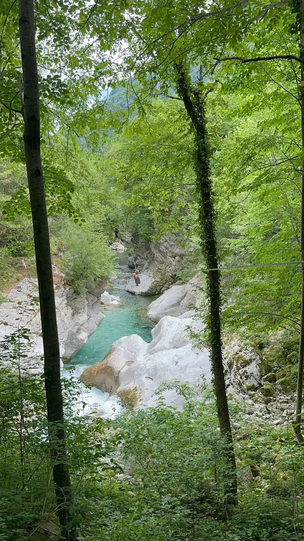
The Soča is the river the valley is named for, and it runs the length of it, past Bovec and on through the settlements further down. It is best known for its colour, a shade of green-blue that photographs well and that visitors tend to mention before anything else about the town.
That colour is not constant. The water shifts with its own conditions, from pale and fast to a deep, settled turquoise, and the change is part of what people come to look at rather than a flaw in the description. A river this visible sits at the centre of almost everything the valley offers, the zipline included.
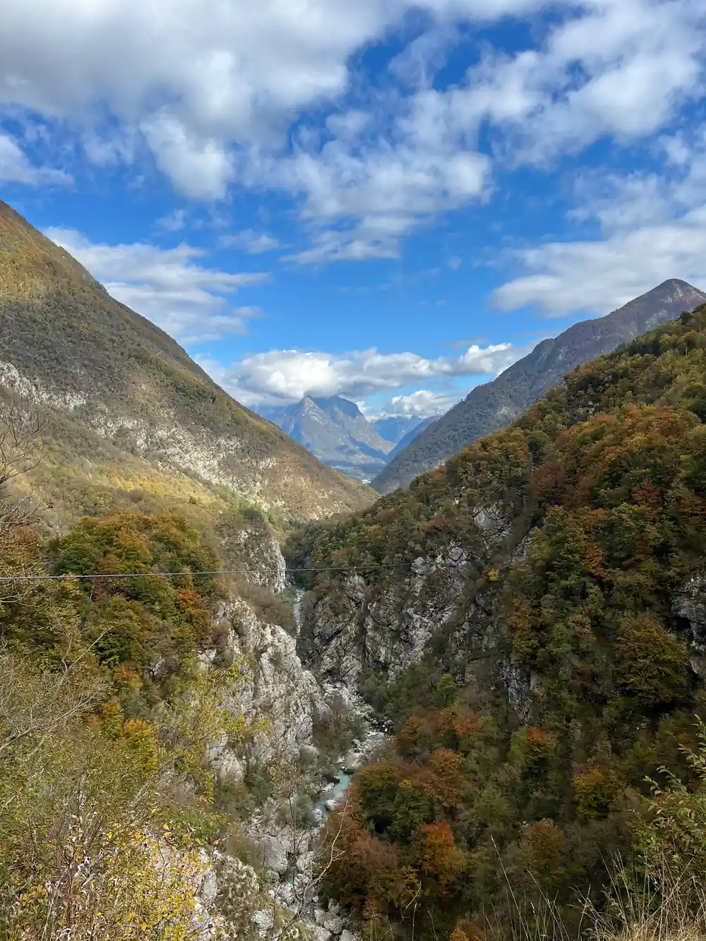
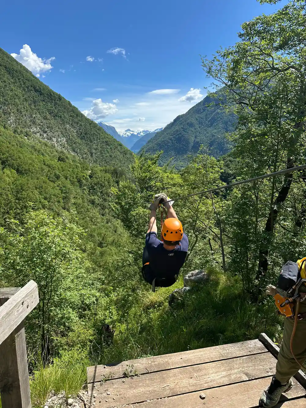
The Soča valley, framed by the peaks of the Kanin range above Bovec.
The Kanin Range Above the Town
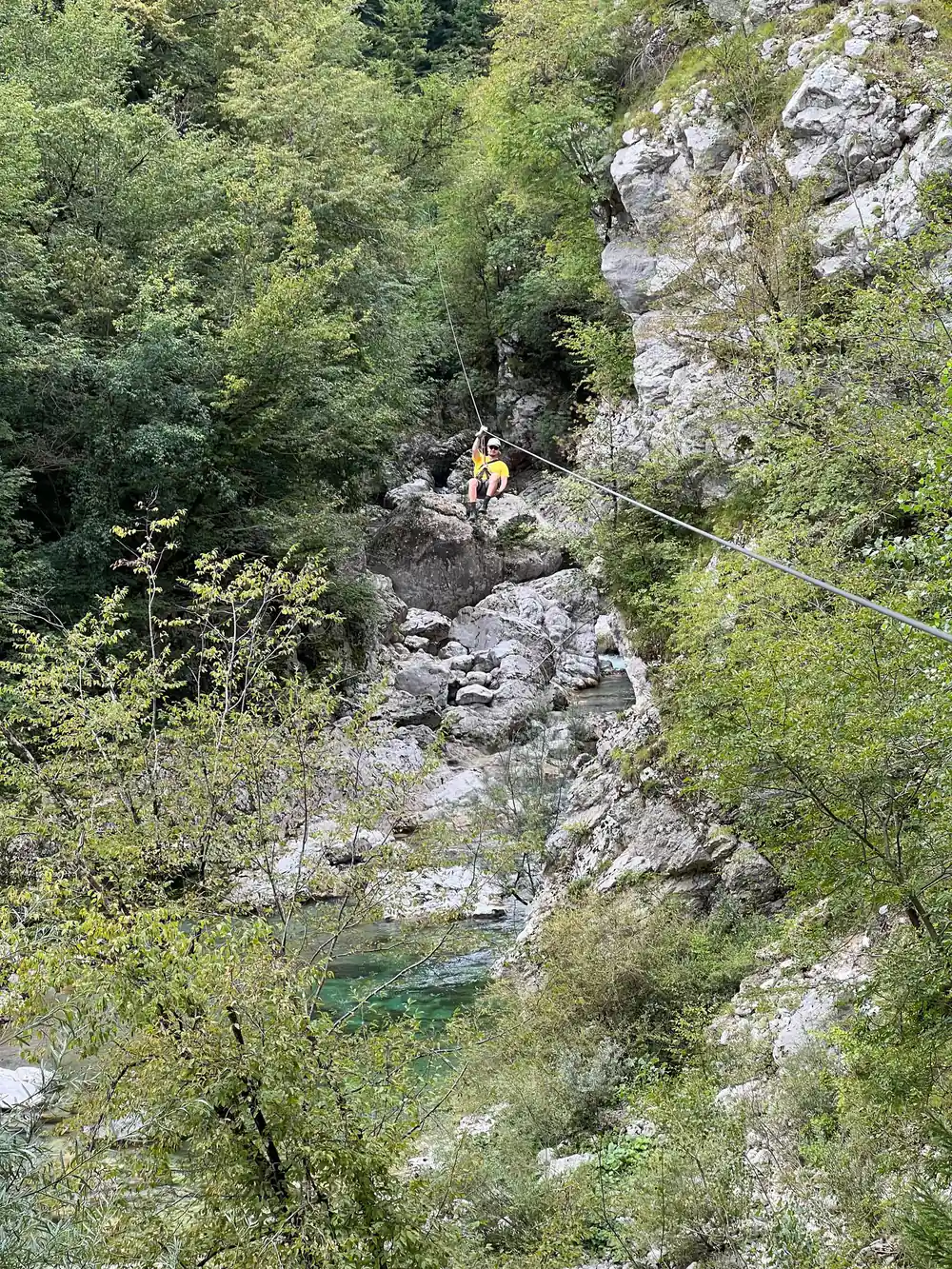
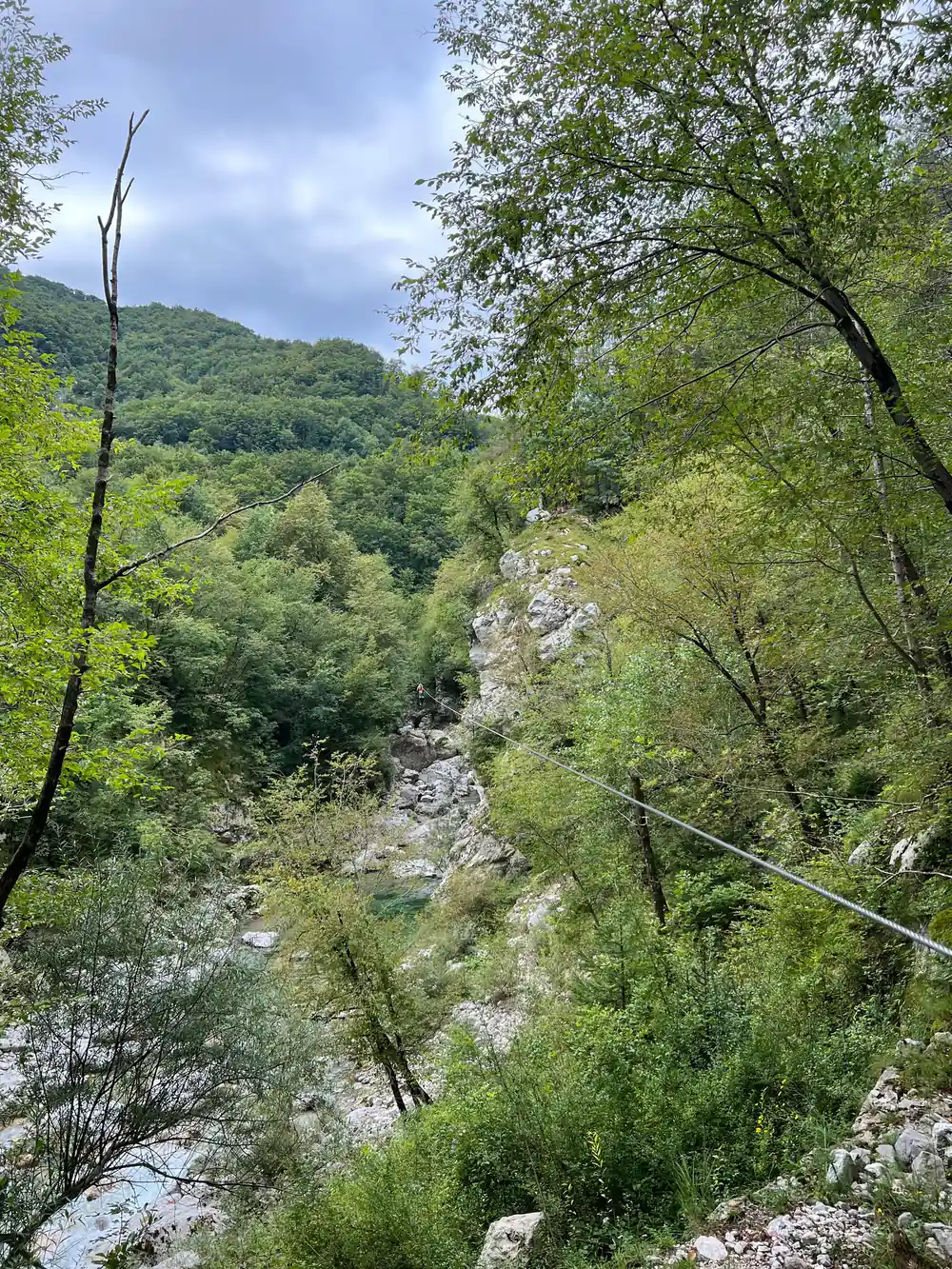
The Kanin range is the high ground standing over Bovec, the wall of mountains that closes the valley in at its head. It is the backdrop in every direction you look from the town, and it is also the terrain the zipline park sits inside: the lines are strung across a canyon cut into the same range.
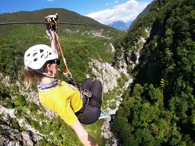
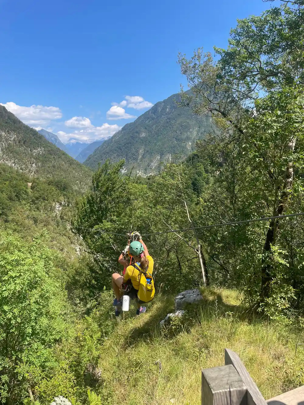
None of this is incidental. A valley this steep-sided produces canyons, ridgelines and drops as a matter of course, and a canyon is a natural place to stretch a wire across. This is a zip line in Bovec, Slovenia, built under Kanin, and the mountain did the design work long before anyone built a course inside it.
Why a Small Town Runs This Much Adventure Tourism
Bovec is not a large town, and that is worth saying plainly: it does not need to be large to support the amount of organised outdoor activity built around it. What it has instead is geography that does the work a bigger population might otherwise need to do, a river, a set of canyons and a wall of mountains, all inside a short reach of valley.
That is the honest version of why a zipline park exists here at all. It is not an attraction dropped into a random small town to see whether it would draw visitors; it is a use of ground that was already there, a canyon that already existed, in a valley that was already the kind of place people came to for the outdoors. Understanding the valley is most of the way to understanding why the wire is strung where it is.
3 hours
The crossing itself is booked as a three-hour block, which leaves the rest of a day in Bovec free for the valley it sits inside.
A Valley Built Around Its Water
The Soča valley is used, broadly, for river sports of one kind or another, and has been for long enough that it shapes how the town thinks of itself. The river is fast enough, and its gradient sharp enough, to support activity on the water as well as above it, and Bovec is set up to work with both rather than treating one as the main draw and the other as an afterthought.
The zipline is the part of that offer that leaves the water and puts you above the canyon instead of inside it. It sits in the same valley, uses the same terrain, and answers to the same basic fact: this is ground shaped by moving water and steep rock, and the activity on offer follows the shape of the ground rather than the other way round.
What Sits Around the Canyon
The canyon the zipline crosses is one feature inside a much larger valley. The ground around it is thickly forested lower down and bare rock higher up, in a pattern typical of this part of the Julian Alps. Further along the valley, away from the canyon itself, the same river and the same mountains continue, past smaller settlements and stretches of forest that most visitors to the zipline never see on the same day.
A day built around the crossing tends to fill the hours either side of it with the valley itself: the river to look at, the mountains to walk toward, and a town small enough to see most of on foot before or after. None of it needs the zipline to be worth the visit, and the zipline does not need the rest of the valley either, but the two sit together for a reason once you have seen the ground they are both built on.
See What Dates Are Open for the Bovec Zipline
from US$93Reserve now & pay later